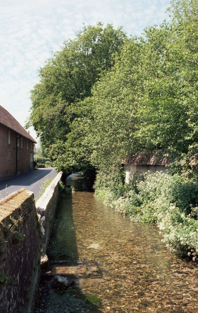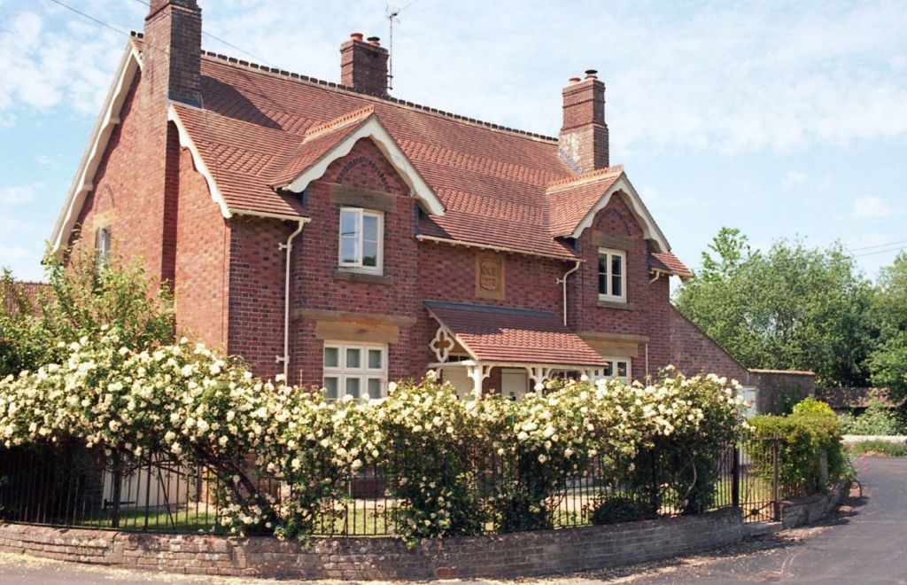
Puddletown is on the River Piddle, in fact it was once called Piddletown but changed it’s name, officially adopted in the 1950’s. Perhaps I should explain to my non-UK readers that “Piddle” is slang for urinating, hence “ohh I need a pee/piddle”. Although as a digression, just too far away from the river to be included in this series there is a village called Shitterton! Anyway – Puddletown at last count had a population of about 1500 people, perhaps amazingly for such a size, it has 56 buildings that are listed, give or take that’s one listed building every 27 people! Like most of these villages it’s the church that is the main public building, to the point where I should perhaps call these “river trips” .. “Churches along the course of…” .
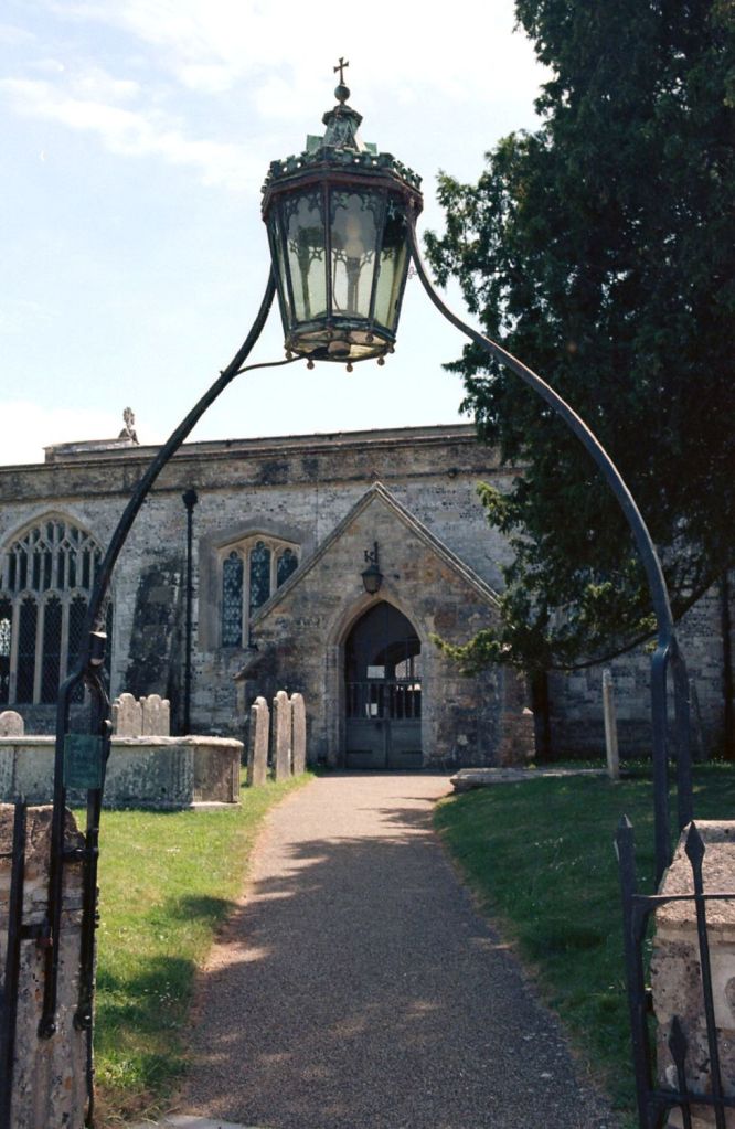
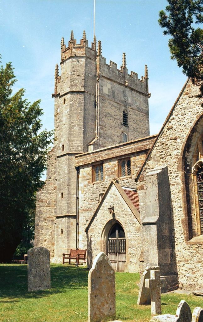
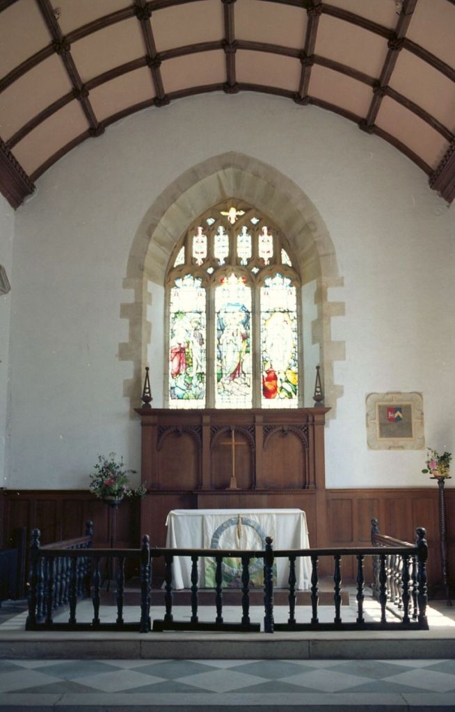
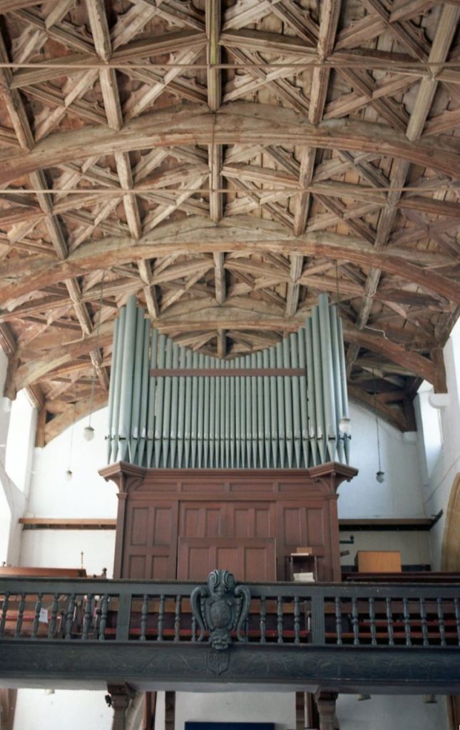
Of course I made some colour images of St Mary’s, this time on Kodak Ektar 100. I won’t go into detail here about this noteworthy church as I’ve already written about it when I visited it with my Nikon F3 – here.
This is the third year I’ve had a photo day out along the course of river in Dorset. Doing so I’ve also learned that often a large part of the course of these rivers are not accessible and flow through private farmland. Not surprising I suppose in a largely agricultural landscape. The notable exception is the River Stour, Dorset’s largest river, that is give or take 61 miles long, but has a 77 mile long path along most of it’s length. That would be a project by itself, certainly more than a day out!