
I’m nearing the end of this set of walks along the Castleman Trail here in Dorset (UK). This is the penultimate post, you may be pleased to hear! This one starts exactly where the last one finished, so turning my back on the sports centre and looking south the trail continues, well marked, right though the centre of town. It has to be said that this town end is not the most scenic! Stay with me – it gets better – much better!
Above, the Trail is pretty much where there were once rail tracks, now footpath and cycle way. Thankfully the concrete soon gives way to a trail that was obviously once the track bed, a nice straight walk tree lined.

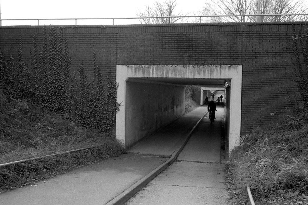
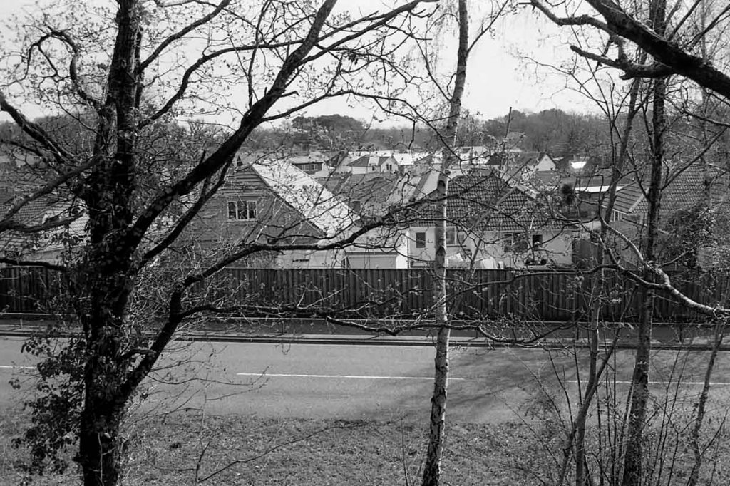
This part of the trail runs parallel with the Broadstone Way, otherwise known as the A349. A little further along, about as far as you can see the path in the image above, the cutting has become an embankment, and houses are built along the road.
A little further on again, a small bridge over what may have once been a narrow road, now a footpath, allows people walking to pass under the trail. The bridge is one of the few remaining physical signs of the railway.

The path carries on until, the is a slight detour where now sits a road junction, the train would have bridged the gap here, whether there was once a bridge here, or the road has cut through embankment I have no idea. It’s also where the trail departs company from the A349 and starts to head out into countryside.

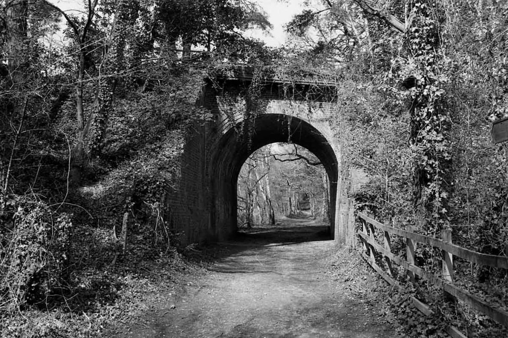
Before long I dropped down off the trail to make a photo of the bridge that allows the old Roman Road to pass under. On google maps I can trace a almost straight line for at least 4 miles – romans didn’t like corners it seems. Back on the trail, and a few more steps I enter the Upton Heath Nature Reserve Proper.

Shortly after, the last bit of railway archaeology, what I believe is known as a “Concrete Tool Hut”. After that I’m on the heath.

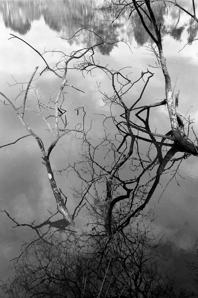
Off to the left is “lake @ Upton Heath” that seems to be it’s official title. There are a few seats dotted about for people to sit and enjoy the view, in the first photo at the top of this post you may just make out a couple of people fishing. The lake didn’t look like it was full of life, but who knows what’s in there! Certainly it’s the most scenic part of this section, and one of the most of the whole trail!


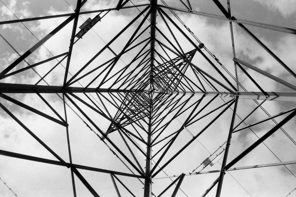
Due to wandering off the trail to make photo’s of the lake, I momentarily lost the trail and ended up underneath a pylon – always good for a photo. I’m sure I don’t need to mention that I was shooting my Pentax Spotmatic, loaded with bulk loaded FP4 movie film, expired 1998! As usual I had with me the Takumar 50mm but only used the 35mm on this walk. I’ve used exactly the same on all walks and sections of this trail.
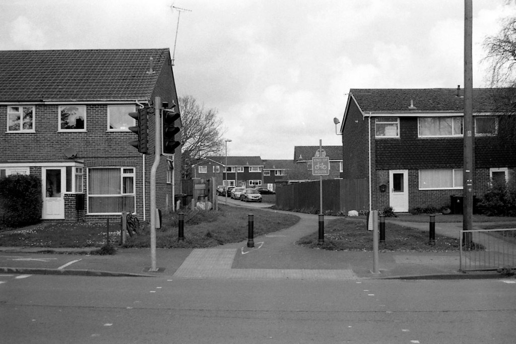
Soon the trail bumps into the A35 and takes a sharp right. The train would have carried straight on, and it’s easy to see where, when you know the was once a train here, I wonder how many people drive up and down not knowing, most I suspect. I certainly never knew!

The path crosses the A35 a couple hundred yards west, the train would have crossed pretty much where the first cars are on the right hand side. Now there is a housing estate.

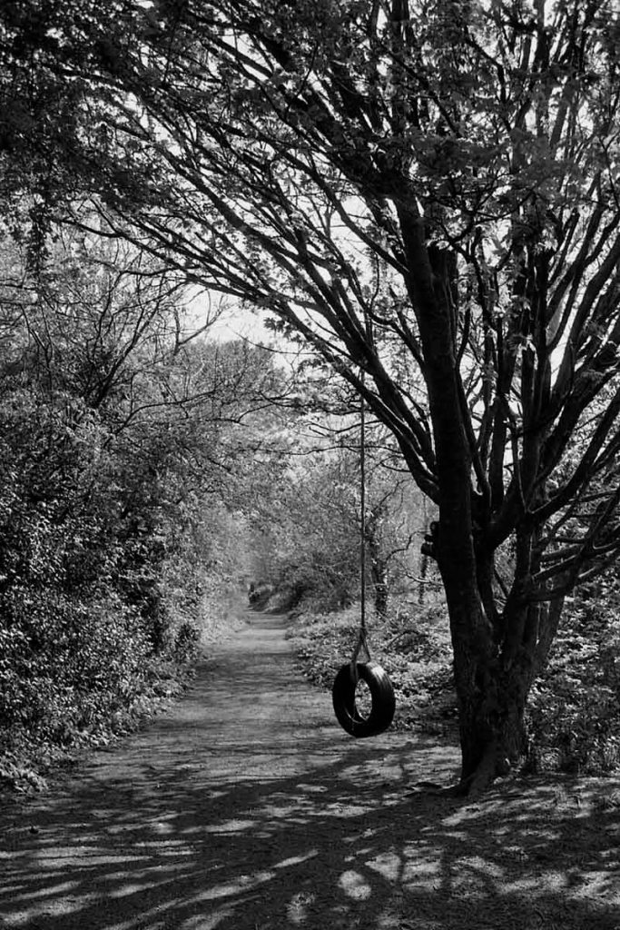
Once over the bridge, there is a lack of signage, I muddled my way through and picked up the trail again. Interestingly there is a pedestrian crossing where once the train would have crossed, then the trail, obviously once track bed, has the back of an industrial estate one side, and the back gardens of houses the other. I’ll leave you to guess whether I had a go on the tyre swing 🙂
Before long and another turn to the left I enter Upton Country Park. You can make out the raised embankment on the right, the end (nearly) of the trail – that’s a final post by itself!

