
In the last instalment of my “Tarrant” series, I’d reached Tarrant Rushton, and showed the church. The river un-surprisingly runs in the valley, but up on the plain above, not much higher, once stood RAF Tarrant Rushton. It was built between May 1942 and May 1943, and it’s main claim to fame is that Horsa type gliders took off from here on the eve of D-Day 1944. I’ve been to the fields where they landed, stood in a mock up of one, and examined a cross section of a real one in France. There is a museum there, just across the road from the café that was the first place on D-Day to be liberated. It was that trip that lead to me discovering about RAF Tarrant Rushton.
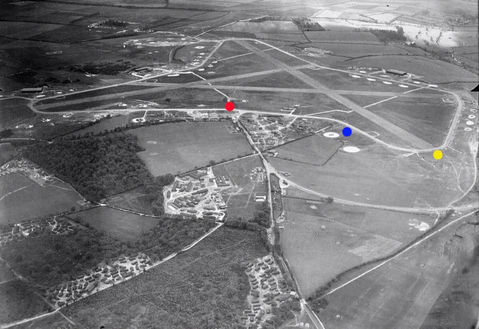
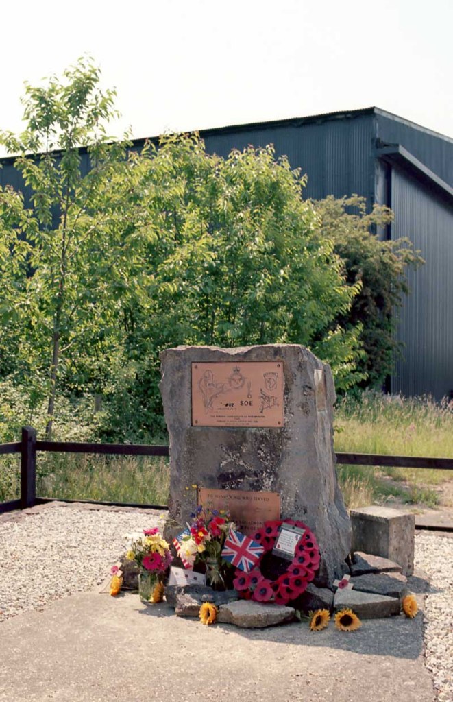
In the historical photo above, the village is just off the right hand side of the image. I arrived and parked the car roughly at the “red dot” spot, there is a small pull in there, and a small memorial, shown below. The outer path that you see encompassing the three runways is a path, and open to the public, although it is farmed land. I’m pleased the land owner allows access.
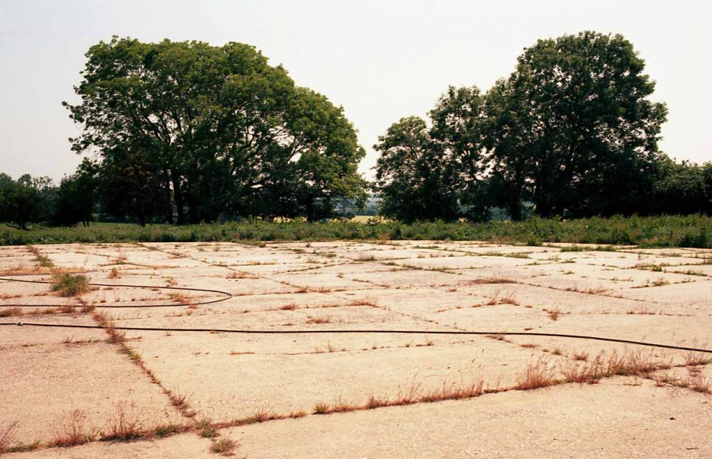
I walked around to the right, and made an image, of one of the once airplane parking spots, roughly from the “blue spot”. The a little further on from about the “yellow spot” made an image of what I think was once one of the runways. It’s surprisingly difficult to keep one’s bearings!
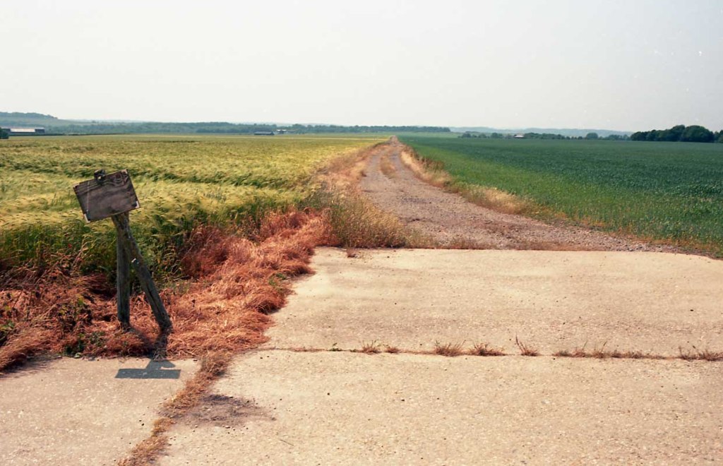
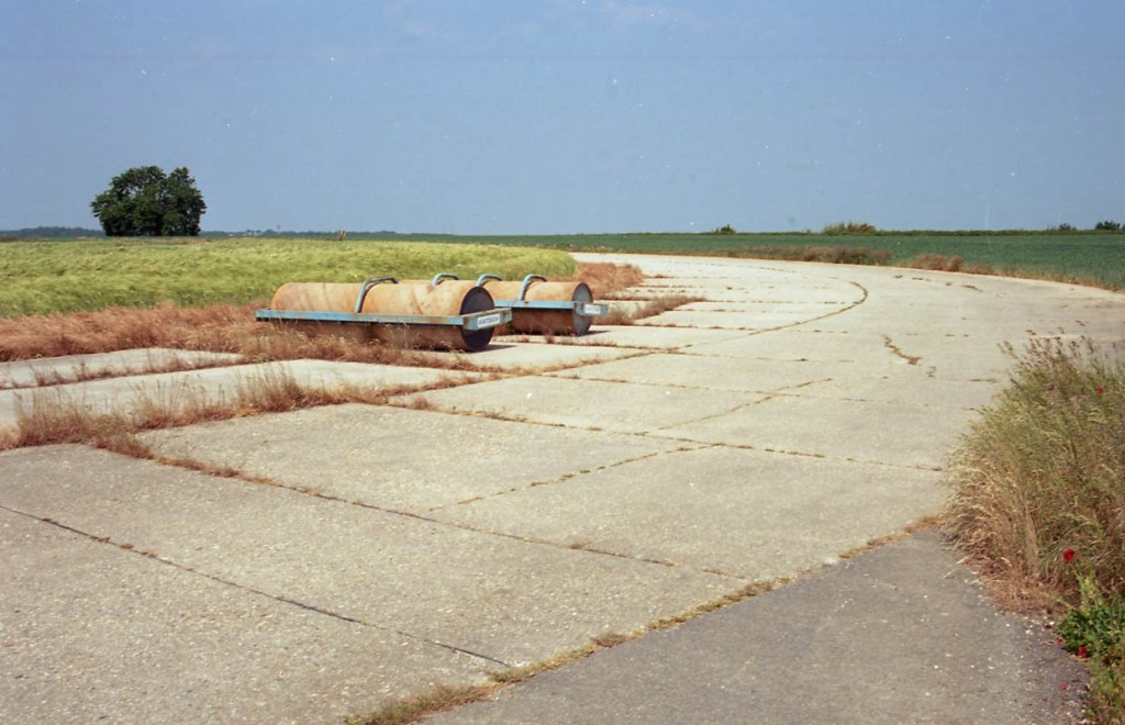
A little further on there was a slightly wider piece of concrete, I wondered why. It was a very hot day, and out in the open, I decided too hot for a moderately long walk so I retraced my steps back to the car, glad that I had finally made a visit and found it!!
All these photo’s were made with the Canon EOS 30 with the 40mm STM, on Kodak Ektar 100.
